
Follow a Tredyffrin Township Street
A street-by-street search starts with the parcel, not a name alone. In Chester County, ChescoViews accepts an address, street, or intersection and can connect the result to a UPI, PIN, and current deed book and page reference. That produces a documented property lead. It does not establish that every person connected to a street currently lives at that site.
Keep the address, parcel identifiers, record date, and source together at each step. The Tredyffrin Township address trail becomes stronger when a later source agrees with the prior one and the period matches. A modern parcel record is best for the current property question. A dated deed, local file, map, census, or confirmed historical directory serves a different time period.
County GIS also offers printable 8½ × 11 and 11 × 17 maps, which can preserve the parcel selection made during a street search. The map is useful for checking roads, municipality, parcel boundaries, and nearby site-address points before moving to the Recorder. It cannot settle a historical name question by itself. Compare the mapped result with the instrument’s legal description and recordation date.
- Enter the address or street in ChescoViews and select the correct parcel result.
- Save the UPI or PIN, situs address, deed book/page reference, and legal description shown for that parcel.
- Use the Recorder’s documented name, UPI, book/page, or document-number routes to locate the recorded instrument.
- For a street voter list, use the statutory request channel only when its written-use requirements fit the request. The individual status tool is not a street browser.
- For an older household question, ask the Local History Room or another named collection to confirm a dated directory, telephone book, map, or census source before relying on it.
Search Tredyffrin Township Streets in ChescoViews
ChescoViews has separate Address, Owner, UPI, PIN, Street, and Intersection modes. The Street route takes a street plus an optional municipality. The Intersection route requires both First Street and Second Street, with municipality optional. A result can be selected, zoomed, and highlighted on the map before its parcel fields are read. That makes it the practical first stop for a Tredyffrin Township street search.
The County also documents Buffer Zone for a nearby-parcel check. It uses a distance in feet or miles, allows up to 10,560 feet, and can select up to 100 parcels. That tool maps property records in an area, but it is not an occupancy list. Search a precise street segment before treating similarly named owners or neighboring parcels as related.
| ChescoViews mode | Field or rule | Street research use |
|---|---|---|
| Address | Street number range, direction, street, type, municipality | Find one parcel by address. |
| Owner | Owner text plus municipality | Return to a known property lead. |
| UPI | Uniform Parcel Identifier | Use the county parcel identifier. |
| PIN | Parcel Identification Number, search active at four characters | Locate a parcel by PIN. |
| Street | Street plus optional municipality | Browse parcels along a named road. |
| Intersection | Both street fields required | Start where two roads meet. |
Chester County’s ChescoViews overview identifies the same search modes shown below.
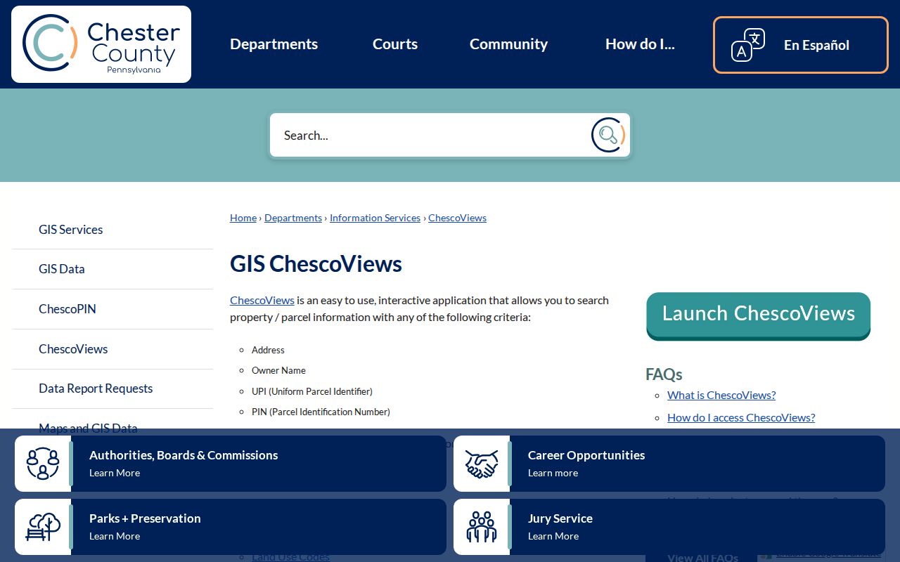
Use the street or intersection result to choose a parcel before opening its connected property or deed information.
Separate Tredyffrin Township Street Fields
ChescoViews treats the situs address and mailing address as different fields. The situs address is the property’s physical location. A mailing address is where tax correspondence is sent. Neither field alone proves that a particular person is present at the location, and a mailing address may be somewhere else entirely.
For address continuity, the parcel identifiers and legal description matter as much as the displayed street number. The County configuration lists owner names, UPI, PIN, book/page, recordation date, acreage or square feet, assessments, municipality, school district, subdivision, lot, and plan information among parcel details. Read only the fields needed to resolve the property trail, and preserve the date attached to the record.
- Parcel
- A county-mapped unit of land with identifiers such as UPI or PIN.
- Situs address
- The physical location assigned to the parcel.
- Legal description
- The deed or plan language identifying land, useful when a street label or number changes.
- Criss-cross directory
- A street-ordered historical directory, if a named volume is confirmed by its keeper.
Note: Keep the record date with each identifier because a visible parcel field may be current while a deed is historic.
Move Tredyffrin Township Parcels to Deeds
The Chester County Records Search hub is the next route after a parcel produces a deed reference. The Recorder says Records Public Access contains document images recorded after 1993, while older material is directed to IQS Search. Its guide also identifies InfoDex Grantor/Grantee Names for 1960–1976. Those are separate pathways, so a missing result in one should not be treated as the end of a title trail.
Recorder searching can begin with homeowner names, document number, book/page, or UPI. The disclaimer says the index is a guide, much like a library card catalogue, and advises testing name variants and other criteria. Read the document image when available. For an official or certified copy, use the purchase route or ask the Recorder for the proper procedure rather than treating a downloaded index result as the record itself.
The Recorder’s public-access disclaimer introduces the document-search environment used for this part of an address-record trail.
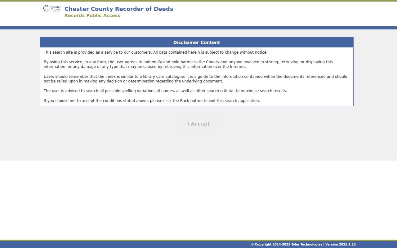
When an image or book/page route is unclear, the Recorder’s office can explain access procedure and the County Archives remains the historical-office fallback.
Tredyffrin Township Street Permit Files
Municipal project records add address and date context, not a roster of people. Tredyffrin Township’s Permits & Inspections Department handles building and zoning regulation, inspections, and code-enforcement assistance. The reviewed Township material did not identify an anonymous public permit-result search. The direct channels are the Permit Office, the Township’s online permitting route, and a written Right-to-Know request for an existing municipal file when appropriate.
The Township FAQ also says staff at the Township Building can pull a property card and direct a visitor to it. A plot plan requires a Right-to-Know request, and the Township warns that a plan may not always be in its files. For permit questions, the department lists 610-644-1400, press 4, and permits@tredyffrin.org. Ask whether a particular address file exists before assuming the file is available or complete.
Tredyffrin Township Permits & Inspections is the source for the office route shown here.
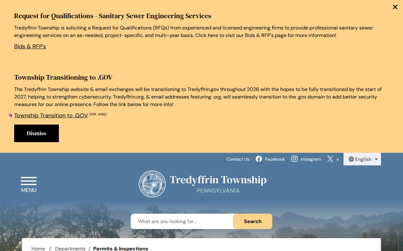
A permit file can help date a recorded project at an address, but it does not establish a complete history of people connected to the property.
Tredyffrin Township Address Numbers
Chapter 83 is the Township’s address-number ordinance. Adopted September 24, 1990, it applies to each principal building, tract, lot, or parcel. The Township Manager or designee assigns and records numbers, provides them to the owner or occupant, and may correct errors. The Board may also change numbers when necessary or desirable.
That local authority is a reason to carry the legal description, UPI or PIN, and plan or lot information through an older search. A modern number is useful, but it may not be the only way a property is described in a historic source. The ordinance directs an owner or occupant to apply for a missing number upon acquisition or occupancy, or within seven days of discovering that it is missing.
Tredyffrin Township Chapter 83 sets out the numbering rules.
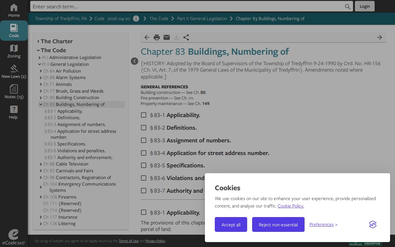
Match the assigned address to parcel and deed identifiers when a street record crosses different eras.
Note: Check the assigned address against legal description and parcel identifiers before carrying it into an older index.
Berwyn Names and Tredyffrin Streets
Historic locality names can split an address search even when the underlying place is continuous. Reeseville became Berwyn in June 1877, and its post office changed that October. Church Avenue later became Main Avenue. Walkerville or Walkertown became Centerville in 1853; its post office became New Centreville in 1857, and the railroad station changed to New Centerville in 1910.
This is a Tredyffrin Township research quirk, not evidence that a record is wrong. Test the earlier road or locality variant against the legal description, nearby roads, and historic maps. Postal labels add another layer: Township materials list Berwyn, Chesterbrook, Devon, Malvern, Paoli, Phoenixville, Radnor, Valley Forge, and Wayne among local postal regions. A record lacking the word Tredyffrin can still require a careful local comparison.
Preserve the spelling printed in an older record before adding a modern locality or street-name interpretation.
Tredyffrin Township Street Records
Each source answers a narrower question than a street search suggests. ChescoViews is the address-to-parcel launch point. The Recorder supplies named parties and legal descriptions in recorded instruments. Township files can document a project or plan when retained. Historical maps and a verified dated directory may add road, lot, or household context. Combining them does not turn the sources into one complete list.
Use the access channel that fits the source. County GIS and Recorder records have online routes. Township permit or plot-plan work may require an office contact or written request. Older county records may require IQS or the County Archives. Historical printed material should be identified by edition and source holder before a name or address is carried forward.
| Address-keyed source | Evidence provided | Next route | Limit |
|---|---|---|---|
| ChescoViews | Parcel, situs, map, owner fields, UPI/PIN, deed reference | Recorder research | Does not prove every person at the site. |
| Recorder document | Named parties and legal description | Prior grantor/grantee or book/page | Does not establish current presence. |
| Township permit or RTKL file | Project, address, date, and applied work | Township office | Does not provide a complete property history. |
| County or TEHS map | Road, lot, and historic property context | Compare legal and road continuity | Does not name every resident. |
| Confirmed historic directory or phone book | Dated printed listing | Pair with map or census | Limited to the particular edition. |
Tredyffrin Township Voter Street Lists
Pennsylvania provides an individual voter-registration status tool, but it is not a freely browsable Tredyffrin Township street browser. The official street-list channel is controlled. State law permits address or street arrangement near elections, while a requester must provide identification and a written use statement. The Commonwealth’s request form describes a Street List with name, residence or mailing address, party, and active or inactive status.
The regulations say street and public-information lists are not published on the internet. The form requires an affirmation that data will not be used for commercial or other non-election, political, or law-enforcement purposes, or posted online. Chester County Voter Services is the local office path. Voting participation history does not reveal ballot choices.
Note: Use the voter-list process only for the stated lawful purpose and do not treat it as a public web directory.
Tredyffrin Township Street Directory Limits
Ownership, a tax-mail destination, a recorded transaction, and a project file describe different relationships to an address. They cannot establish every current resident, every past household, or a person’s present location. Results can also be affected by record dates, historic names, the Recorder’s index structure, a protected field, or a source that was never published online.
For a past household question, a confirmed historical volume, map, census, or archival collection is more appropriate than a current owner field. The historical collections are treated in more detail in the Tredyffrin Township city directory collections. Stop when the reliable source trail ends, or ask the responsible custodian about lawful access to the underlying record.
Lawful personal research. Use address and street records carefully for personal, historical, property, or civic questions. Do not use them to stalk, harass, intimidate, or harm another person.